Product Description
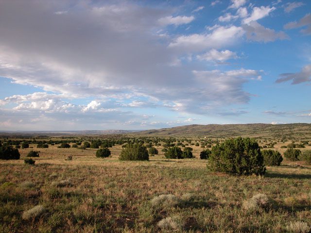
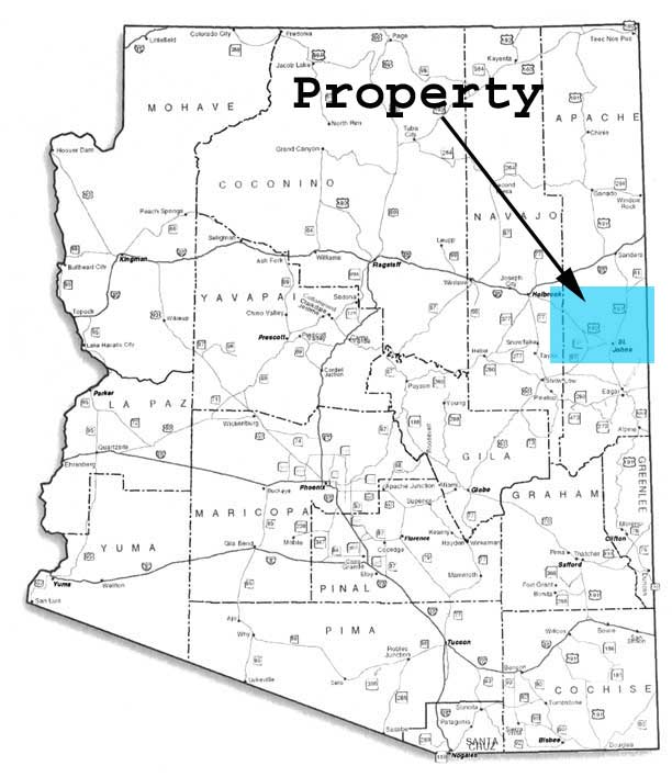
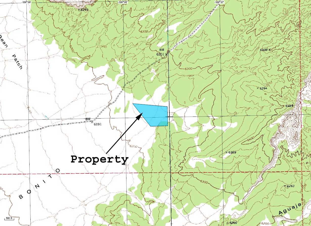
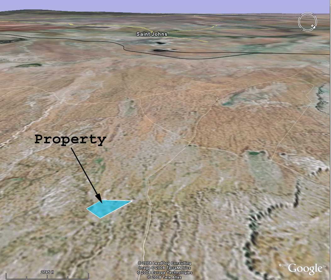
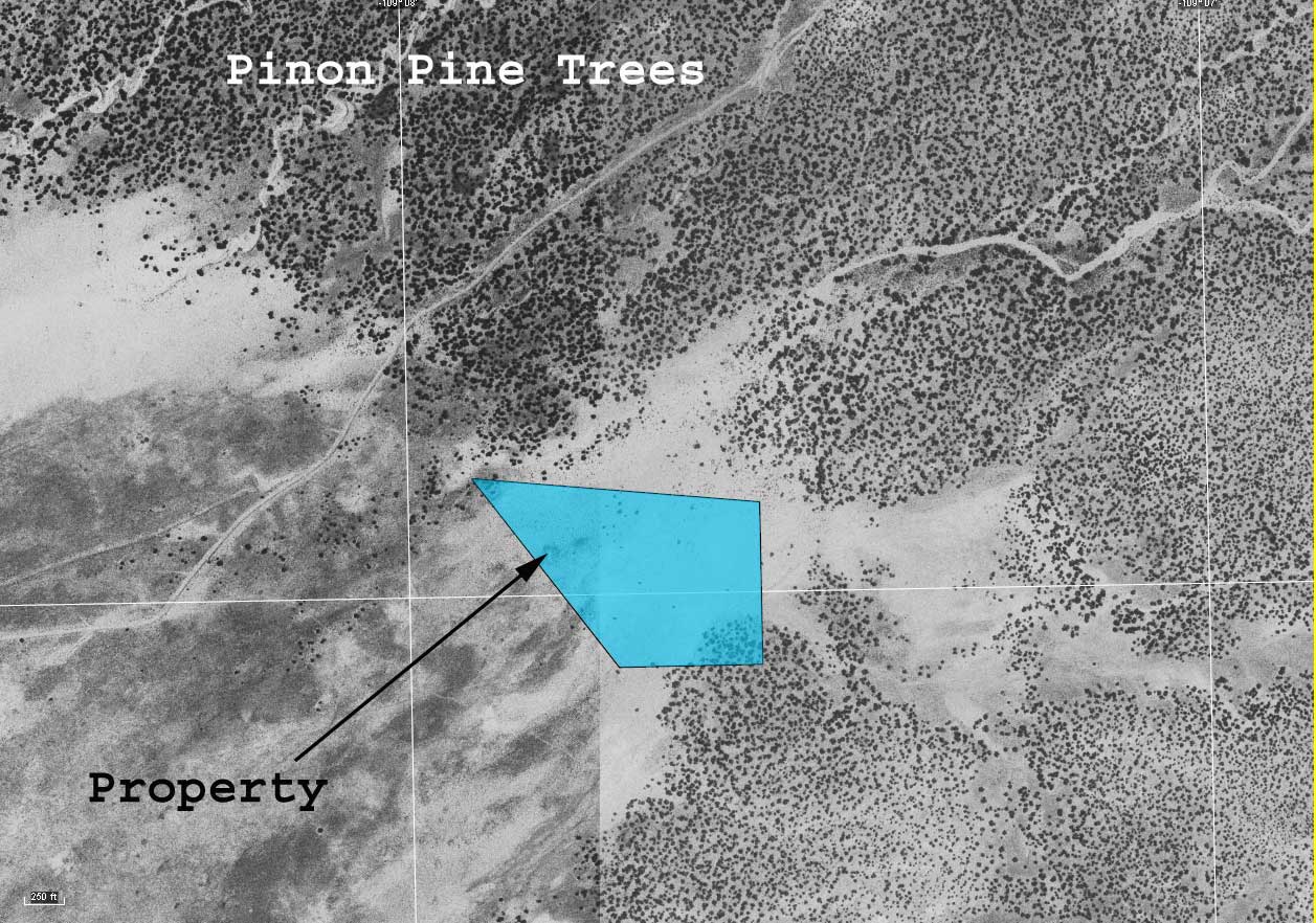
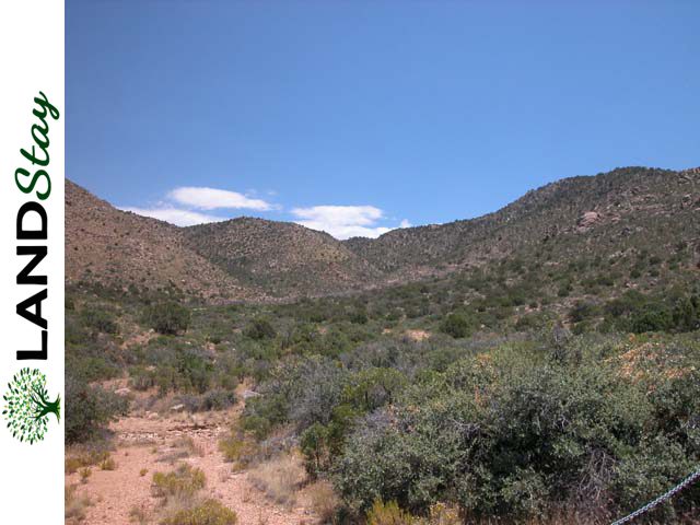
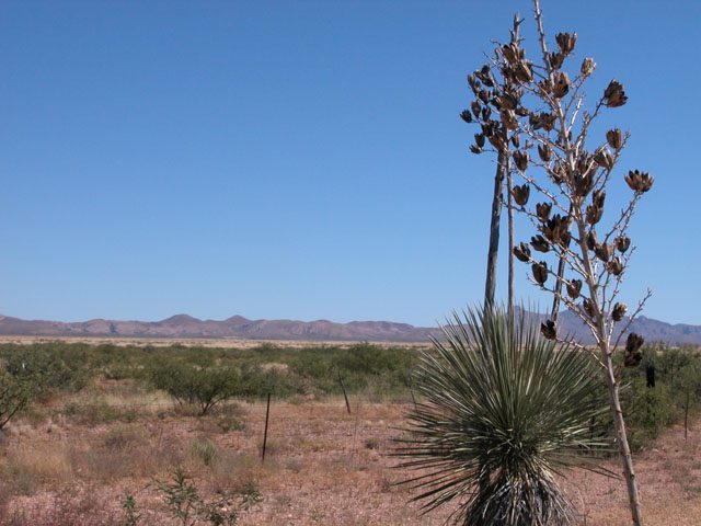
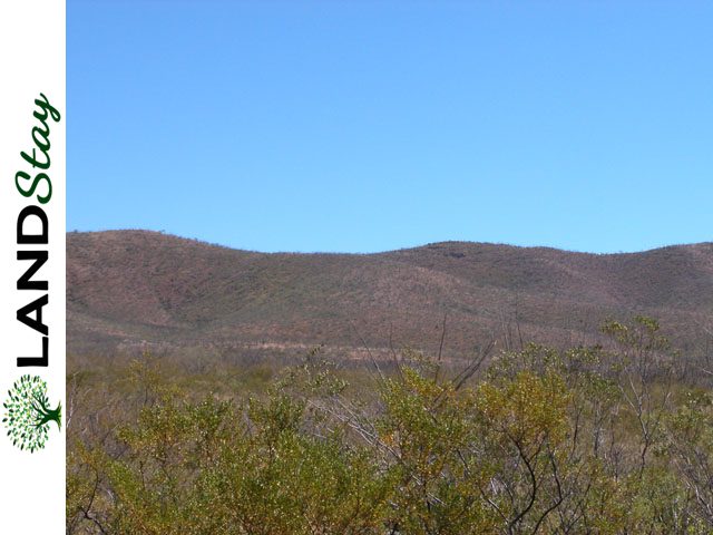
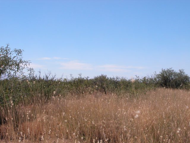
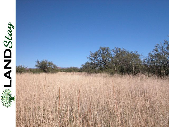
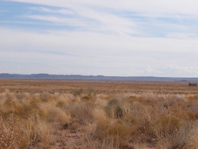
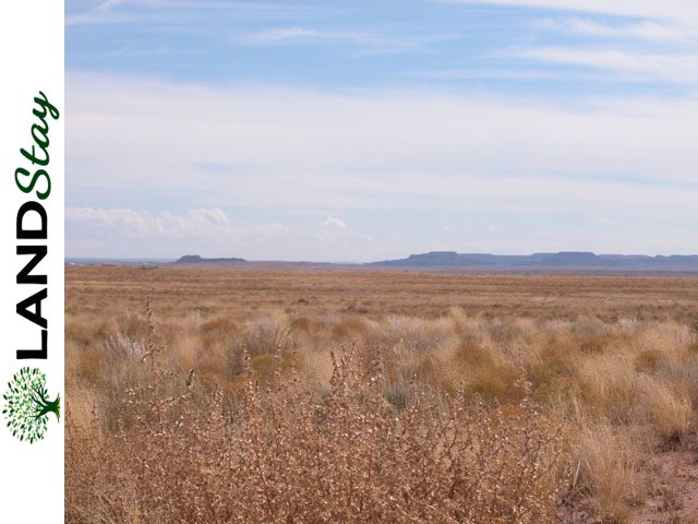
This is a wonderful parcel located just north of the charming community of Concho. The parcel has big sky horizons with spectacular sunrises, sunsets and fabulous night sky viewing free of light and air pollution. The parcel is on the eastern slope of Black Ridge and is bounded on the east by Concho Creek. The parcel has several stands of Pinyon-Juniper pines and is primarily open rolling hills co. .
Property Details
| Size (Acres) | 36.5 |
| County | 04001 |
| State | AZ |
| Zip | 85936 |
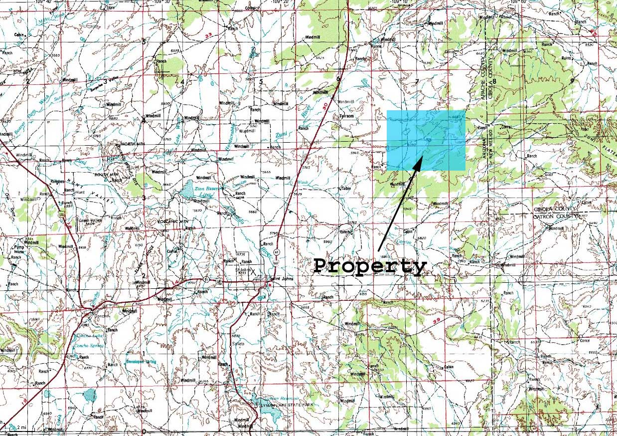
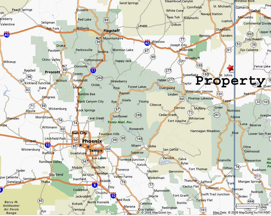
| General Location | 60 Miles from Wells, NV. See GPS Coordinates. |
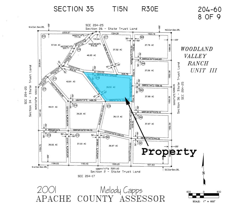
| APN or Other ID | 204-60-378 |
| SKU | 25438 |
| Legal Description | TRACT NO. 378, WOODLAND VALLEY RANCH, UNIT III, ACCORDING TO BOOK 8 OF LAND SURVEYS, AT PAGE 184 (9 SHEETS), RECORDS OF APPACHE COUNTY, ARIZONA, LYING WITHIN SECTION 35, TOWNSHIP 15 NORTH, RANGE 30 EAST OF THE GILA AND SALT RIVER BASE AND MERIDIAN, APACHE COUNTY, ARIZONA; EXCEPT ALL OIL, GAS, AND OIL AND GAS RIGHTS AND ALL HYDRO-CARBONS SUBSTANCES AND ALL MINERALS AND RIGHTS THERETO AS RESERVED AND TRANSFERRED BY PREVIOUS OWNERS; AND EXCEPT ALL RIGHTS, TITLE AND INTEREST IN AND TO ALL GEOTHERMAL RESOURCES, ALL HYDROCARBON SUBSTANCES AND GASSES, AND ALL MINERALS, INCLUDING WITHOUT LIMITATION AS SUCH TERM IS USED IN THE STOCK RAISING HOMESTEAD ACT OF DECEMBER 29, 1916 (43 U.S.C. 291-302), AND SPECIFICALLY EXCLUDING SAND AND GRAVEL, AND RIGHTS INCIDENT THERETO, AS RESERVED IN DEED RECORDED IN DOCKET 956, PAGES 404-418. |
| GPS | 34.667162,-109.12815 |
| Zoning | Vacant |
| Terrain | Rolling with beautiful views |
| General Elevation (in feet) | 6200 |
| Power | Alternative |
| Phone | Mobile/Satellite/Alternative |
| Water | Would be by well or alternative system |
| Sewer | Septic or Alternative System |
| Roads | Dirt/Gravel |
| Time to Build | No Limit |
| Title Info | Purchased with Title Insurance |
| Annual Property Taxes (Approx) | $214.00 |
| Doc Fee | $399 |
| Terms | All Cash |
| Price (Before Fees) | $11402.00 |

