Product Description
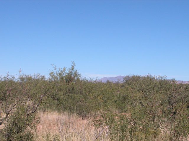
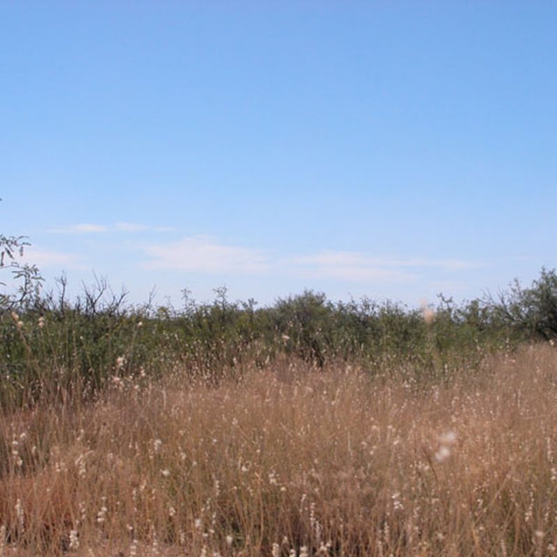
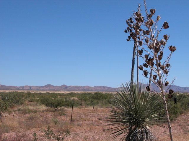
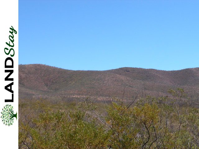
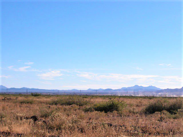
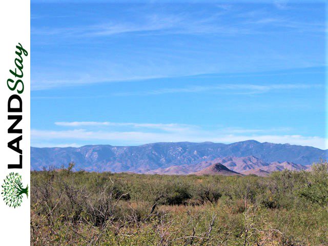
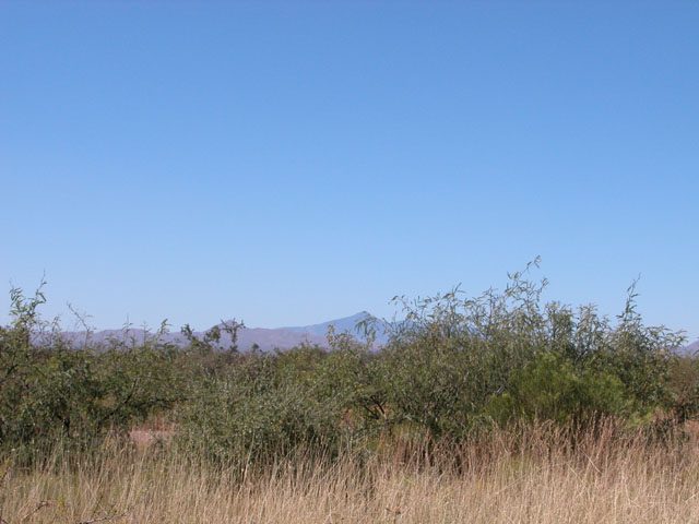
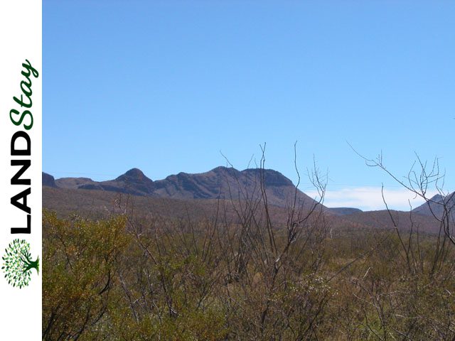
This is a wonderful parcel located just north of the charming community of Concho. The parcel has big sky horizons with spectacular sunrises, sunsets and fabulous night sky viewing free of light and air pollution. The parcel is on the eastern slope of Black Ridge and is bounded on the east by Concho Creek. The parcel has several stands of Pinyon-Juniper pines and is primarily open rolling hills co. .
Property Details
| Size (Acres) | 5 |
| County | 04001 |
| State | AZ |
| Zip | 85936 |
| General Location | 27 Miles from St. Johns, AZ |
| APN or Other ID | 205-09-024E |
| SKU | 24464 |
| Legal Description | THE WEST HALF OF THE NORTHEAST QUARTER OF LOT 26, WITCH WELL RANCHES ACCORDING TO THE PLAT OF RECORD IN THE OFFICE OF THE APACHE COUNTY, RECORDED IN BOOK 2 OF TOWNSITE MAPS, PAGE 7 ALSO KNOWN AS THE WEST HALF OF THE NORTHEAST QUARTER OF THE NORTHEAST QUARTER OF THE SOUTHWEST QUARTER OF SECTION 24, TOWNSHIP 17 NORTH, RANGE 29 EAST OF THE GILA AND SALT RIVER BASE AND MERIDIAN EXCEPT ALL OIL, GAS, COAL AND MINERALS WHATSOEVER, ALREADY FOUND OR WHICH MAY HEREAFTER BE FOUND UPON OR UNDER SAID LAND; AS RESERVED BY SANTA FE PACIFIC RAILROAD COMPANY, A CORPORATION, IN DEED DATED NOVEMBER 6, 1952, RECORDED NOVEMBER 23, 1952 IN BOOK 32 OF DEEDS, PAGES 291-292. EXCEPT A 30 FEET EASEMENT ALONG THE NORTH AND WEST BOUNDARIES OF THE DESCRIBED PARCEL FOR ACCESS PURPOSES |
| GPS | 34.855869,-109.2199 |
| Zoning | Residential |
| Terrain | wooded with pines, flat to rolling |
| General Elevation (in feet) | 6300 |
| Power | Alternative |
| Phone | Mobile/Satellite/Alternative |
| Water | Would be by well or alternative system |
| Sewer | Septic or Alternative System |
| Roads | Dirt/Gravel |
| Time to Build | No Limit |
| Title Info | Purchased with Title Insurance |
| Annual Property Taxes (Approx) | $22.00 |
| Doc Fee | $399 |
| Terms | All Cash |
| Price (Before Fees) | $2438.00 |